I've visited Colorado four times previously, but each time was centered around a race or a vacation where I did a lot of hiking with Jess. I've always wanted to take a week and just explore the mountains while running. This summer I had the opportunity to take five days and run my brains out around Rocky Mountain National Park. Each day my itinerary consisted of eating, running most of the day, eating some more, then going to sleep. That sounds like a great trail running vacation to me.
Day 1: East Longs Peak Trailhead to The Keyhole 12.5 miles
3:01:04, 9,400 to 13,200 ft.
Rangers' Cabin at the East Longs Peak Trailhead
On day 1 I flew into Denver around 11:30. After grabbing my baggage and my Hyundai Elantra rental car, I headed north and decided to start big right away. Each time I've been to RMNP I've had plans of trying to summit Longs Peak, but I always felt pretty run down at the end of the trip when I was planning on running up. This time I decided to just go for it right off the plane. I started my run at 3:30 in the afternoon, not ideal knowing that thunderstorms pop up around that time every day. I decided I would go up and see how the altitude treated me and what the weather looked like.
The first half mile I felt awful. My heart was in my throat and I was barely running. After 5 minutes or so I felt better and got in a good groove. I felt fine the higher I went and just kept up a good rhythm. I took a few photo breaks above treeline, shooting marmots and the beautiful views. I was keeping my eyes on some stray storm clouds, but there didn't seem to be any major thunderclouds around.
Entering the Boulderfield AKA every White Mountain trail
Once I reached the Boulderfield campsite I ran into a few people, including one guy who was trying to dissuade me from going any further late in the day. He also told me the trail was closed past The Keyhole due to a death earlier in the day. Yikes. I was already a little apprehensive about the trail past that point after reading trip reports, but I figured I would go up to The Keyhole and get some photos, then head back down.
View through The Keyhole
Stone shelter below The Keyhole
View from inside the shelter
Freshies. First tracks anyone?
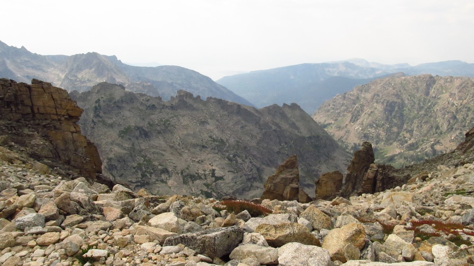
Looking at the route past The Keyhole. No thanks.
The run down was pretty uneventful. There were a few claps of thunder, so I did my best to get back to treeline a quick as I could. Overall, it was a pretty successful run. I felt completely fine above 13,000 ft. I could feel I was at high altitude, but I felt a lot better than when I've been that high in the past.
After finishing the run I headed to
The Grubsteak in Estes Park, and had the elk sheppard's pie and maple nut brown. Mmm.
Day 2: Pawnee - Buchanan Pass Loop
26.2 miles, 7:11:49, 6700 ft. of climbing
Sunrise near the Beaver Meadows entrance of RMNP
This loop wasn't really on my radar until a few days before I left home, but I stumbled across some trip reports for it and decided I needed to fit it in. A 26 mile day in the mountains is always ambitious, but I had all day and nothing else to do, so I figured if I bonked I could always hike it in.
I started my loop at the Mitchell Lake trailhead as the Long Lake parking lot was full. Like yesterday, my heart was in my throat at the start, but everything got better after a few minutes of running. The first few miles of trail were rockier than most Colorado trails that I have run, but they were still pretty nice.
First view about a mile in
Beaver Creek Trailhead
I made sure to stop and take in plenty of calories via gels, fig newtons and
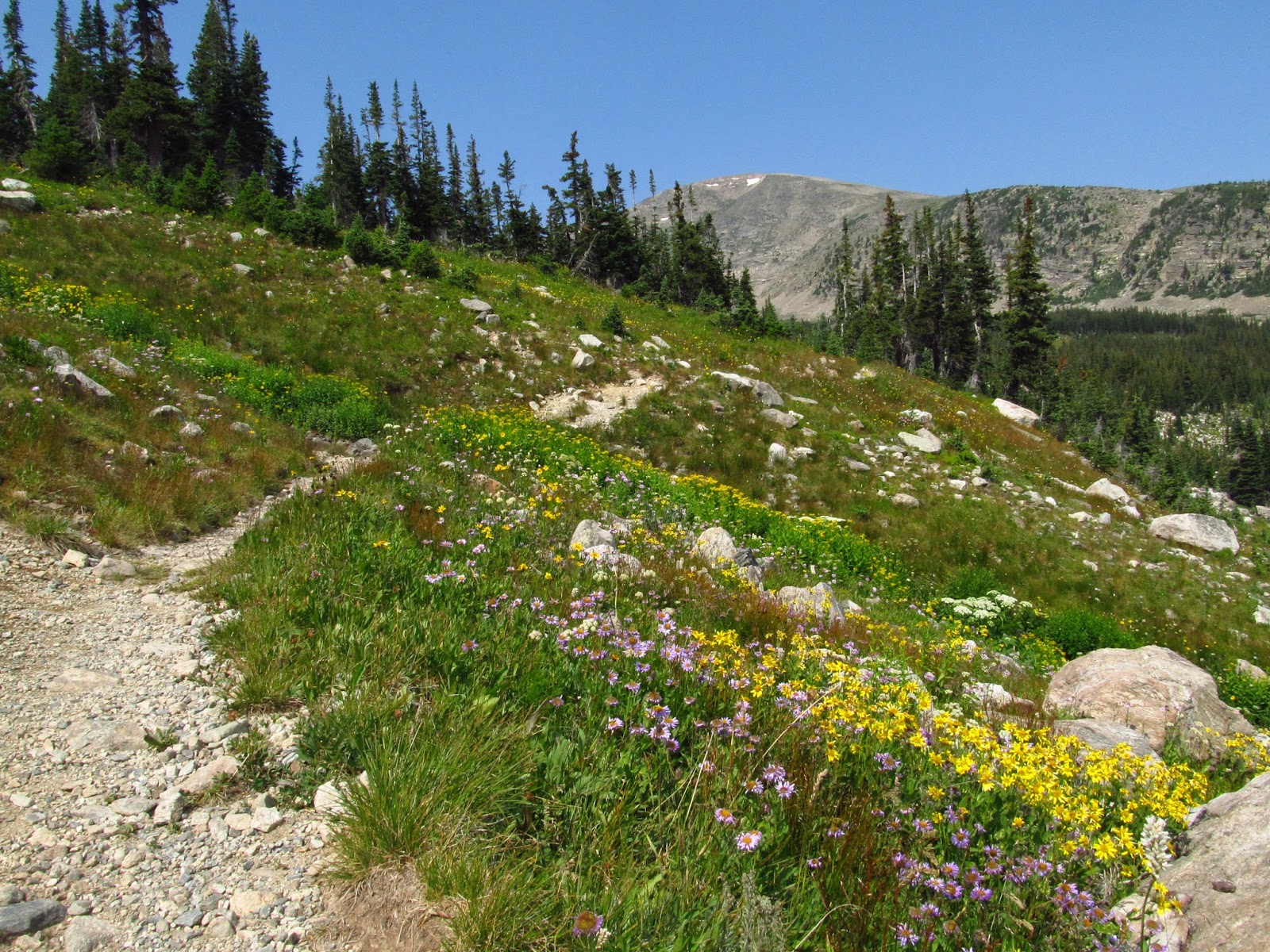
Uncrustables. This was the view from my first fuel stop. The wildflowers seemed to be in full bloom and just added to the magnificent scenery. At about this time another trail runner passed me in the other direction.
Climbing up Buchanan Pass (11,837')
The climb up Buchanan Pass was pretty uneventful. Just as the trail would get steep it would switchback and become totally runnable. This was much appreciated once I got above 11,000 ft. I only had to walk a few short sections on this climb before topping out on the broad pass.
Trail over Buchanan Pass
This was on the other side
Once I started to descend from the pass, the scenery looked like something out of a granola bar commercial. Lush green grass with wildflowers everywhere and a sprinkling of conifers. And the trail was pretty smooth and great for running. I pretty much was dropping f-bombs every time I came around a corner and saw a view that was better than the last. I kept thinking this is the best run I have ever done.
At 13 miles you hit the low point of the loop, around 8,900 ft. I had drained my 1.5L of water at this point, so I filled my bladder in the nearby stream, and started the long climb to Pawnee Pass. This is when I realized that the miles of downhill and altitude were starting to take a bit of a toll. I was struggling to run some of the steeper ups, so I decided to walk anything that was too steep or rocky. I was able to run mostly everything though, so I was still making good time.
Approaching the west side of Pawnee Pass
Holy shit.
The last few miles on the way to Pawnee Pass were getting tougher, and I was running out of steam. The climb up the pass was pretty rocky and steep, even with the switchbacks. I just tried to keep moving forward, mostly hiking, knowing that I would feel better on the 5 miles of downhill on the east side of the pass.
Looking back down after topping out
Tons of marmots on Pawnee Pass
Continental divide sign at 12,500 ft.
Once again, the run down was pretty uneventful. I was in full-on bonk mode though and ended up walking two slight rises near the parking lot. This was an amazing loop though and worth the effort.
Day 3: Cache le Poudre - Chapin Pass - Ute Trail Loop
15.7 miles, 3:20:37, 1900 ft. of climbing
I knew I would need a flatter day, and after looking at the maps of the park and looking at some of the cool valleys between the huge mountains, I decided a little "off-trail" exploration was in order. I devised a loop that would start at Milner Pass (10,760 ft.) on the continental divide on Trail Ridge Rd., go down the Cache le Pudre valley, where ther eis no defined trail for most of it, back up another cross country area to Chapin Pass, up part of Old Fall River Rd. to the Alpine Visitors Center, (11,796 ft.), and down the Ute Trail back to the start.
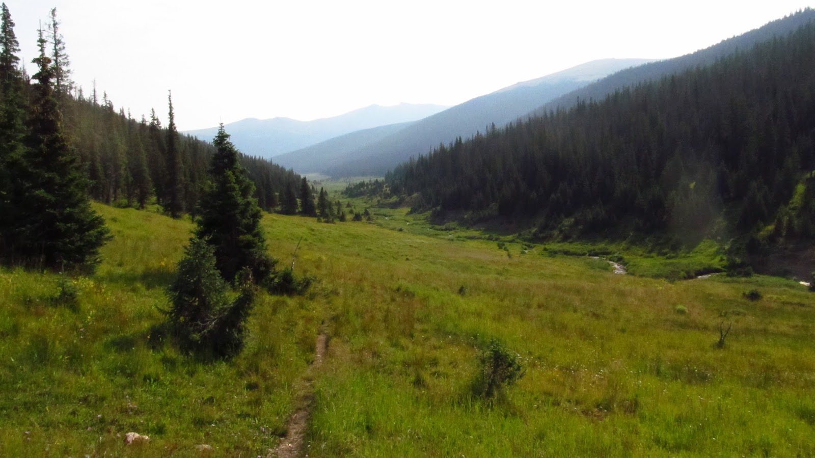
Heading down the Cache le Poudre valley
Intersection of Cache le Poudre "Trail" and Chapin Pass "Trail" around 10,100 ft.
The cross country travel was actually pretty good going. There were plenty of game trails to follow and the grass wasn't too high. You didn't have to worry about getting lost as the valley was so open you could always see where you were headed. I did have a little trouble when I first hit the valley to head up to Chapin Pass. I stayed too far to the right and ended in a really wet meadow. Once I got back on track it was pretty good going again.
Heading up a valley
Sweet camping spot
The trail up to Chapin Pass was pretty uneventful, but a nice run nonetheless. It was smooth going headed down to Fall River Rd. and the road wasn't too busy with traffic, so i was able to enjoy the views during the nice leisurely climb to the Alpine Visitors Center.
Looking down the Fall River Valley
High point
After reaching the high point at the Alpine Visitors Center, I decided that I didn't need any food, water, bathrooms or overpriced souvenirs, so I crossed the road for the final leg of the run on the Ute Trail. Jess and I hiked a small part of this last summer, but it was a cold, windy day, so we turned around pretty quick.
This section of trail was part of the original Fall River Rd. that connected Estes Park to Grand Lake. You could tell from the gentle grades that it was an old road;. It was still a great trail though.
Going down.
Day 4: North Inlet - Tonahutu Loop
26.3 miles, 5:59:46, 4300 ft of climbing
This run was on Sunday, the same day as the Pikes Peak Marathon, which I was signed up for and only 3 hours away from, but I was more interested in some sight seeing than running a race. Pikes Peak is one of my favorite races, so it felt weird to be in Colorado and not be on the starting line, but I did not regret it one bit.
My goal for the day and what I figured would be the highlight of my trip would be the 26 mile North Inlet - Tonahutu Loop on the west side of RMNP. I had been eyeing this loop for a while as it spends a lot of time above treeline on the continental divide.
I awoke from my campsite around 6Am and saw the temperature was 37 degrees. Not exactly great temps for cooking instant oatmeal and sitting in my sleeping bag while eating it. I decided to head into town and hit the breakfast buffet at the
Fat Cat Cafe. All of the food was homemade and all you can eat. I stopped myself after two plates knowing that I would be running up a mountain soon. The owner, Sally, was worried that I did not get enough to eat and sent me on my way with a cinnamon bun in a sandwich bag when I told her I would be up in the mountains for the day! Thanks Sally! I started my run around 8:30 from the North Inlet Trailhead. With a full pack and a full stomach I was ready for another long day.
I saw 4 deer in the first 1.5 miles
Where are the smurfs?
Climbing to the divide
On the climb up to the divide, I was surprised by the number of people I ran into that were hiking down. I'm guessing many of them had camped out overnight. I slowly made my way up the switchbacks taking in the mountain views and watching for animals. I could hear marmots and pikas squeaking all over the place.
Pika!
Once above treeline there were views as far as you could see. The air was cooler, but it was pretty nice in just a t-shirt. I spotted a lone elk not long after I hit the ridge and was able to snap a few pictures.
The running above 12,000 feet was amazing. Most of the trail was nice singletrack with a few well placed rocks in sections.
After spending some amazing time above treeline, it was time to descend into the Tonahutu Valley, where the Big Meadows forest fire had just been recently contained. The trail just reopened days before I headed west.
The run down was pretty awesome. Nice smooth trails with views into the area where the fire was.
Mike Beeman's old place. They fixed it up a little.
With about 4 miles left I was passing Big Meadows when I ran into two bull moose that were VERY close to the trail. The one above wasn't budging as I tried to walk down the trail near him. I had to wait about 10 minutes before he moved away so I could pass. I took the opportunity to gets some more photos.
This was the bigger one. He had zero interest in me.
About a mile from the finish I ran into a family who was doing the loop as a 3 day camping trip. They asked what I was doing and told them the same loop. They exclaimed "In one day?" I explained that I do mountain races like Pikes Peak and Mt. Washington back east and they said they were from Brusnwick, ME. Small world.
This was another amazing loop. Great mountain and valley scenery and plenty of wildlife. I highly suggest it if you ever find yourself on the west side of RMNP.
Rainbow over my campsite at Stillwater Campground on Granby Lake
My trusty rental
Sunset over the continental divide and Granby Lake
Day 5: Lawn Lake Trail
14.1 miles, 2:41:37, 2800 ft. of climbing
Some longhorn sheep I saw on Trail Ridge Rd. on my way back to Estes Park
My last run in Colorado was supposed to be a flatter run on the west side of RMNP, but I had a full stomach, once again from a good breakfast at the Fat Cat Cafe, when I got to the trailhead, so I decided to keep driving towards Estes Park and let my stomach settle. I decided to run up to Lawn Lake, which climbs 2800 ft. in 6+ miles. So much for flat. Surprisingly, I actually felt pretty good on the climb and was actually pushing the upper stretches, something I had held back from doing all weekend.
Looking down on Lawn Lake
Looking up the valley
Shots of the dam that blew out in a flood in 1982
Erosion
That was an amazing vacation. I managed 94 miles in 5 days over 22 hours with nearly 20,000 ft. of climbing. (Avg. 18.8 miles/4.45 hours/3900 ft. per day.) I did all of those miles in my X-Talon 190s, which had plenty of grip and good support on the smooth trails. I was not really expecting to get all of those runs in. I figured I would go long one day and have to do a 5-10 mile easy run the next day to recover. I think the high altitude kept the pace slow which made it a lot easier to handle the miles. I definitely felt tired once I got home, but still managed 62 and 70 miles the last 2 weeks.